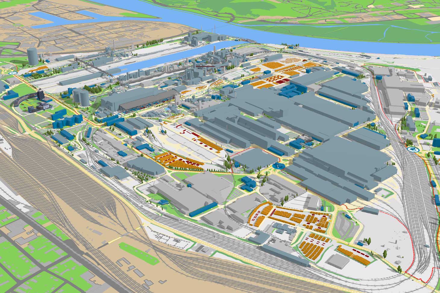
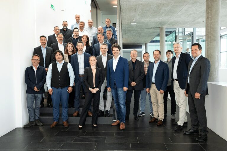
Corporate Blog
voestalpine AG
Digital twin in Linz: the duplicated site

Digital twin in Linz: the duplicated site

Digital mapping of the Linz site enables voestalpine Stahl GmbH to provide special services. A smart site map that delivers much more than orientation.

Rendering voestalpine site Linz in 3D: Overview of the Linz site in GIS
""
In this article

voestalpine Stahl GmbH maintains a digital map for its Linz site. That’s certainly not mind-blowing in these times of Google Maps, etc. But a look at existing and future functions is cause for astonishment.

3D model voestalpine Stahlwelt, geoinformation system
GIS provides an overview of the voestalpine Stahlwelt.

A GIS that gives

The plant grounds are home to a 130 km rail network, 500 km of pipelines, and 226 km of canals. Plus buildings and countless other objects. The data twin on the intranet displays it all with centimeter precision and is simply called a geographic information system (GIS) — a huge understatement! Because GIS delivers so much more than the position of halls, routes, and plants.

Within the plant halls, for example, you can see the load-bearing capacity of lifting gear. And by integrating more relevant data, GIS considerably supports the operational process.

Markus
Plant Information Service voestalpine Stahl GmbH

User figures confirm people’s interest in this smart tool. More than 3,500 users are already using GIS. Data for the system has been collected since 2007, and work on the 3D model of the plant site began four years ago.

voestalpine port 3D model in the geoinformation system GIS
Harbor in GIS

Now you see it

The voestalpine Stahl GmbH information system simplifies the work for employees, guests, suppliers, and customers. As Markus explains: “Someone on a shift might just want to know when the nearest cafeteria is open, but a freight forwarder needs precise information about route closures in the plant, and a construction company needs precise data about how media routes run. GIS meets all these needs.” But all users do not need (or are allowed) to see everything.

Not all users need to be able to access every function, but they do need to access the right ones. And our team takes care of that.

Markus

Data owners such as Site Service or the logistics service provider LogServ manage their own data and ensure that the information is up to date. And all users can send feedback to report any discrepancies or necessary changes.

Detailed view of the voestalpine port in the GIS geoinformation system
GIS provides an overview of the storage areas and supply system.

Sustainable maps

GIS also supports the sustainability of the site in a fascinating way. For example, it provides links to information on the life cycles of buildings and facilities, and information on the potential of sites for PV systems. The “virtual site” is continually being expanded. The decarbonization of steel production should bring about some changes.

The voestalpine Linz site in 3D:

Rendering voestalpine site Linz in 3D: Overview of the Linz site in GIS
The voestalpine site in Linz in 3D: Overview of the Linz site in GIS
""
Share article
GreenTec Steel

Austria's biggest climate protection program

More info
voestalpine AG

voestalpine AG

Die voestalpine ist ein weltweit führender Stahl- und Technologiekonzern mit kombinierter Werkstoff- und Verarbeitungskompetenz. Die global tätige Unternehmensgruppe verfügt über rund 500 Konzerngesellschaften und -standorte in mehr als 50 Ländern auf allen fünf Kontinenten. Sie notiert seit 1995 an der Wiener Börse. Mit ihren Premium-Produkt- und Systemlösungen zählt sie zu den führenden Partnern der Automobil- und Hausgeräteindustrie sowie der Luftfahrt- und Öl- & Gasindustrie und ist darüber hinaus Weltmarktführer bei Bahninfrastruktursystemen, bei Werkzeugstahl und Spezialprofilen. Die voestalpine bekennt sich zu den globalen Klimazielen und verfolgt mit greentec steel einen klaren Plan zur Dekarbonisierung der Stahlproduktion.